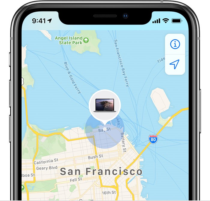
Most people in the United States know what GPS is. It’s a data point that records your location on the Earth using satellites that orbit the planet. In our personal lives we view this data in platforms such as Google Maps or in the Find My iPhone app. However, a GPS data point is actually only the latitude and longitude coordinates. That is not something that humans can easily interpret. That is why these platforms show the coordinates of locations we care about with respect to a map or some other reference.
These platforms for sharing this GPS information are examples of geographic information systems (GIS’s).
Today, I am going to talk about the importance of GIS’s in assistive technology. Imagine this hypothetical scenario:
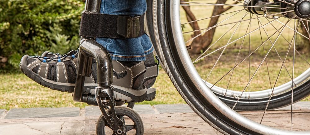
You are a full-time wheelchair user who is meeting their friends to see a play at an old theater. The theater is on the corner in a busy urban area, so though it does not have a designated parking lot, there are handicapped parking spaces on the streets on either side of the building (Street 1 and Street 2). Your friend tells you that the front doors are on Street 1, so that is where you decide to park your car. However, when you get to the front door, you see that the entrance has a flight of stairs leading up to it, so you can not get in. You follow the signs toward the handicapped accessible entrance, but it is all the way down at the other end of Street 2. If only you had known that Street 2 was the street with the handicapped accessible entrance, you would have parked there!
This is a very specific example, but there are cases all the time where it is useful to have accessibility information for an area. One such area is college campuses. To see some example accessibility maps for college campuses, you can click here for one by Harvard University and here for one by MIT.
Though it is awesome to see maps like this becoming available for people with disabilities, there is still a lot of work to be done in this area. Google Maps has released wheelchair accessible routes, and hopefully will continue to expand their platform to be even more useful for people with disabilities.
What do you think of GIS? How do you think it can be used to improve assistive technology? Let me know in the comments below!