There are many different types of GIS certificates, certifications, and degrees available for students today.
This page includes information on the Geospatial Certificates offered at Tufts through the department of Urban & Environmental Policy & Planning (UEP), along with additional programs and certificates to consider while learning GIS or applying for careers in the industry.
Tufts Geospatial Certificates
The Department of Urban and Environmental Policy and Planning (UEP) offers two multidisciplinary certificates in spatial sciences to both Tufts matriculated graduate students in Arts & Sciences and non-matriculated post-baccalaureate students.
As a student in the program, you’ll also have access to Tufts’ Data Labs, full-service computing labs dedicated to geospatial technology, statistics, and data science which serve as a hub for GIS activities at Tufts and are designed to foster collaboration and innovation.
Students choose between 2 different tracks:
1. Geographic Information Science (GIScience)
Tufts Geographic Information Science (GIScience) certificate focuses on principles of GIS, spatial analysis, spatial data management, and cartographic design.
This certificate will help you prepare for a career in GIS technology in a variety of professional industries or research domains including environmental studies, urban studies, public health, and more.
The four course certificate can be completed in 3 to 4 semesters and courses are offered in a flexible format, including in the evenings, weekends, and online, making the program accessible to working professionals.
2. Spatial Data Analytics
The Certificate in Spatial Data Analytics focuses on spatial statistical analysis, modeling, and visualization and is complimentary to broader data science applications. It includes advanced coding and statistical methods.
The certificate can be completed in 3 to 4 semesters and courses are offered in a flexible format, including in the evenings, weekends, and online, making the program accessible to working professionals.
Course Requirements
The certificate requires twelve credits. The first 6 credits of Intro and Advanced GIS are required, while students choose from a menu of electives and options to satisfy the remaining 6 credits.
Two required courses (6 credits)
- GIS 201 Introduction to GIS or equivalent
- Tufts equivalents: PH 262, PH 262OL, MCM 591, DHP P207, CEE 187, NUTR 231, CLS 125
- GIS 202 Advanced GIS or equivalent
- Tufts equivalents: DHP P289
Two electives (6 credits) from the following
- GIS 103/CEE 189 Intro to Remote Sensing
- GIS 203 Spatial Statistics
- GIS 204 Interactive Web Mapping
- UEP 294/ENVS 121 Drones for Data Collection, Mapping, and Analysis
- Additional GIS electives approved by the GIS Council
- Up to one graduate-level course in statistics, quantitative methods, data science, or data visualization approved by school GIS advisor. Examples include:
- GIS 205 Urban Analytics and Visualization
- GIS 206 Data Science for Urban Sustainability
- CEE 132 Data Science for Sustainability
- ENV 170 Data Visualization
- Graduate-level statistics course
- Thesis or capstone with core spatial methods approved by school advisor
The certificate requires twelve-thirteen credits. There are three required courses, and one elective of choice. Most courses are three credits.
Prerequisites: Intro to Statistics
Three required courses (9 credits):
- Introduction to GIS or approved intro GIS Course equivalent
- Advanced GIS
- Urban Analytics and Visualization OR Data Science for Urban Sustainability (both require a previous introductory course in Python or the new 1 SHU “Introduction to Programming with Python” course at Tufts, offered in both Spring and Fall)
One elective from the following (3 credits):
- Intro to Remote Sensing
- Advanced Remote Sensing
- Spatial Statistics
- Interactive Web Mapping
- Data Analytics/Data Science elective courses
- Approved advanced statistical or quantitative methods course
- Thesis or capstone with core spatial methods pending approval of GIS program coordinator
- Other courses may be approved by the coordinator if they have a core spatial or data science component
Additional information for matriculated graduate students
Matriculated graduate students should reach out to the school advisor listed below to discuss an academic plan to receive the GIS certificate. Interested students must declare their intent to receive the certificate by the Course Add deadline for the Graduate School of Arts and Sciences in the semester they wish to graduate. Students must be able to fit all certificate courses into their primary graduate degree program requirements.
- Graduate School of Arts and Sciences: Dr. Sumeeta Srinivasan
- Cummings School of Veterinary Medicine: Carolyn Talmadge
- Fletcher School of Law and Diplomacy: Dr. Marcia Moreno-Baez
- School of Engineering: Dr. Laurie Baise
- School of Medicine: Dr. Thomas Stopka
Applications are accepted on a rolling basis.
Faculty contact: For additional information about this certificate, please contact Sumeeta Srinivasan, with the UEP Department at Tufts University.
Resources for Types of GIS Programs & Certificates
There are many different types of geospatial programs for students wanting to learn GIS or prove their skills to future employers. There are two main types of GIS education:
GIS Degrees or GIS certificates offered by accredited college, universities, or academic institutions including bachelors, masters, or certificate degrees.
GIS certifications which serve as verified credentials guaranteeing your expertise and knowledge with using GIS tools and software. These certifications are typically the GISP Certification from The GIS Certification Institute (GISCI) or ESRI certifications, offered by the industry’s leading GIS software provider.
Resources for Finding the Right Degree or Certification for you
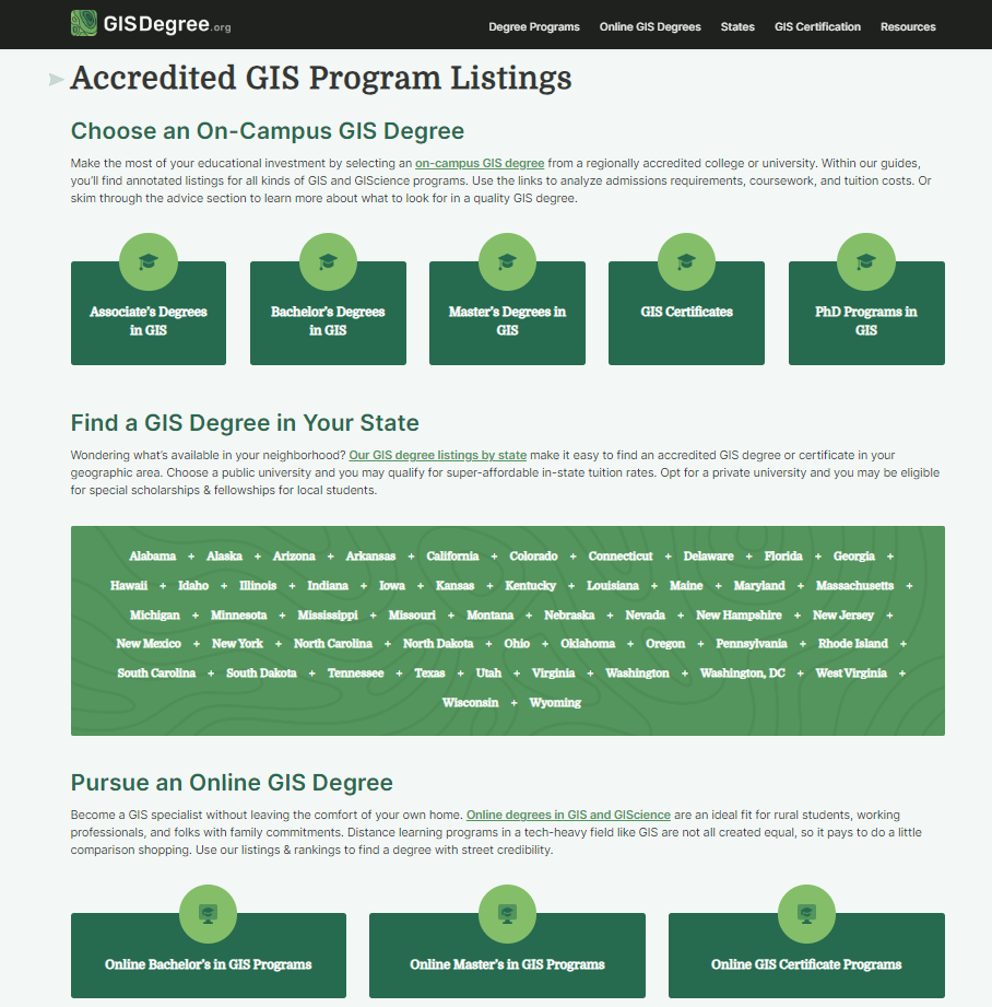
GISDegree.org is an excellent resource for learning about different types of programs along with finding the right type of program either on-line or near you. Check out their website to see all the options available to you.
