Welcome to GIS at Tufts University
Contact us: DataLab-Support@elist.tufts.edu
Visit Us at Tisch and Hirsh Libraries
GIS at Tufts is a vibrant university-wide community & resource dedicated to advancing geospatial education, research, and career opportunities for all Tufts students, faculty, and staff


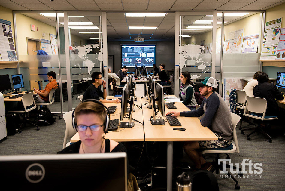
Geospatial Services & Support
TTS Research Technology Specialists offer a wide range of geospatial services and support for all of Tufts’ campuses and schools
- GIS Consultations: Walk-in & Advanced
- GIS Course Support & GIS Network Drives
- Specialized Instruction & Guest Lectures
- Map Designs for Faculty Publications
- Research Collaboration Opportunities
- GIS Software & Licensing
- GPS & Drone Equipment
Featured
Tufts GIS Applications
Tufts Data Lab has created custom applications for exploring Tufts GIS projects, geospatial learning resources, and to help search for data
GIS Tutorial Explorer
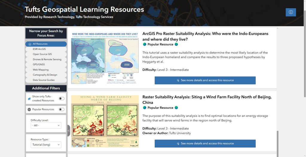
Use the GIS Tutorial explorer to find learning resources created at Tufts University and other institutions for a variety of software applications. Learning resources include tutorials, videos, tip sheets, and instructor course resources.
GIS Expo Explorer
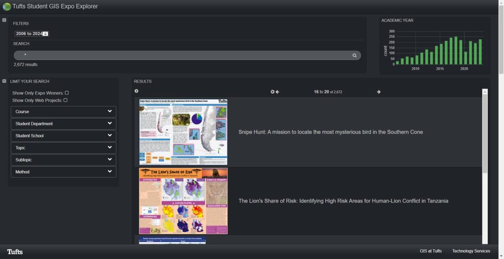
Tufts GIS Expo Explorer is an online search and discover app which allows users to search GIS student projects by application topic, method, and course. It is helpful for exploring topics, poster design techniques, and useful data sources.
GeoData at Tufts
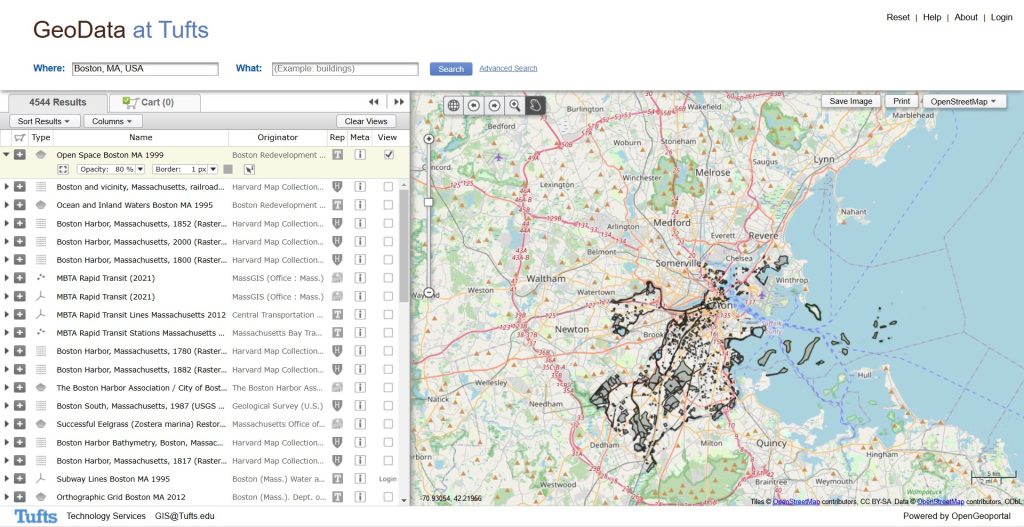
GeoData@Tufts is a geospatial data repository which allows user to search, discover, preview, interact, and download geospatial data from various university repositories. It is a collaborative initiative between a number of Universities.
Tufts GIS in the News


Learn GIS at Tufts
Get started on your journey to learn geospatial technologies by signing up for our courses, enrolling in a GIS certificate program, or by engaging in faculty research
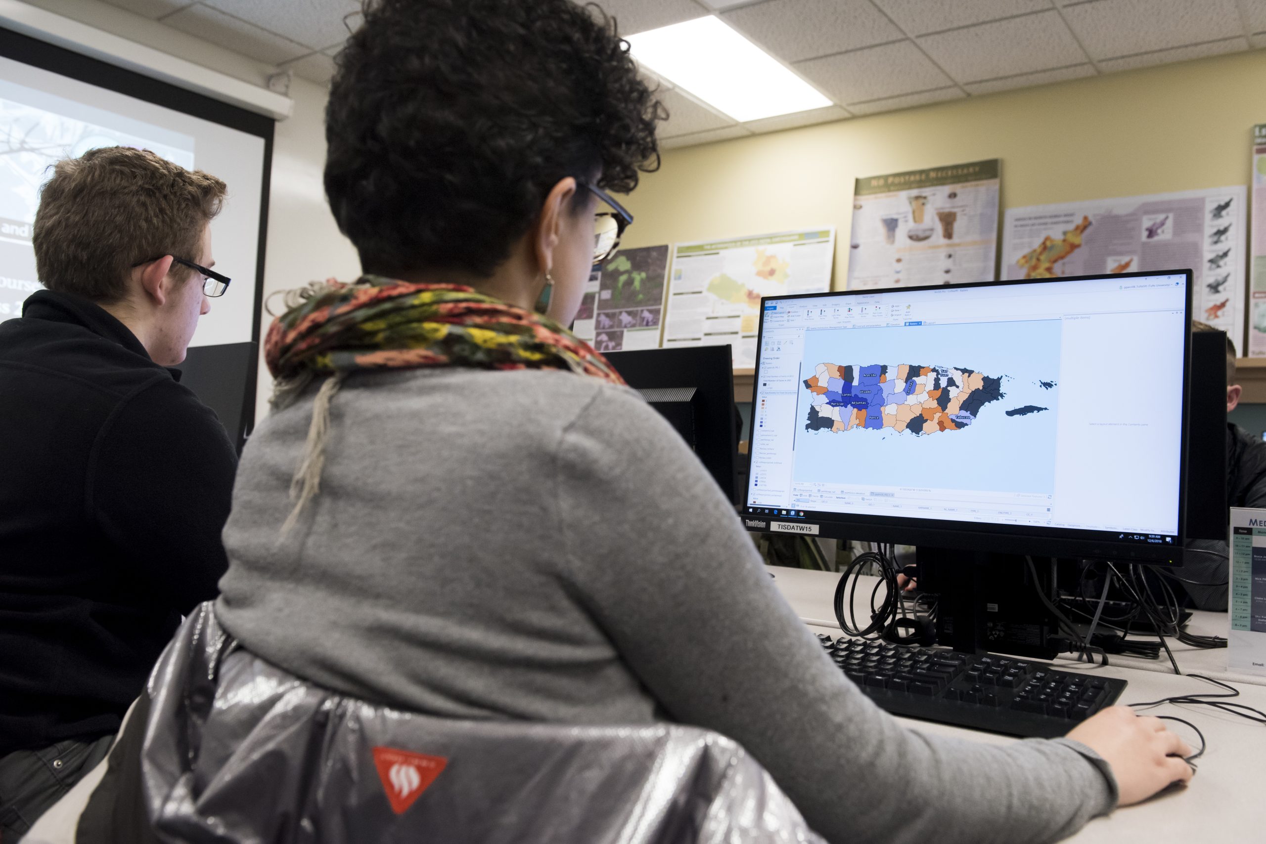
GIS Courses

Dr. Marcia Moreno-Báez celebrates the end of classes with her GIS students
Tufts offers over 28 geospatial courses a year ranging from novice to advanced, in different modalities, and across the academic year, including the summer
Tufts Geospatial Certificates
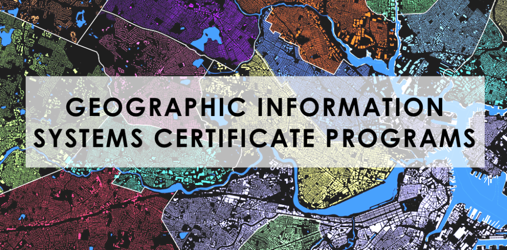
Come explore the world of GIS at Tufts University
The Department of Urban and Environmental Policy and Planning (UEP) at Tufts University offers two multidisciplinary geospatial certificate programs for learning GIS
GIS Research at Tufts
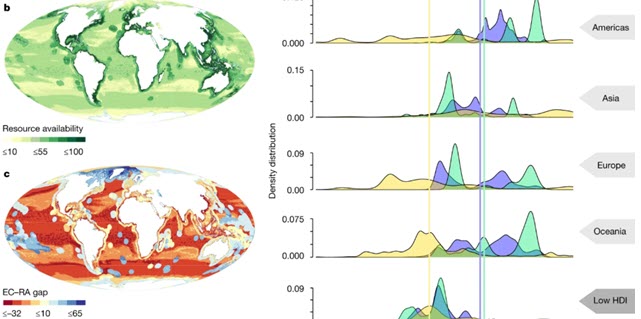
Dr. Marcia Moreno-Báez’s 2021 Nature Publication
Tufts faculty regularly use geospatial technology in their research and publications. Learn more about our faculty interests and research by exploring their recent publications
Our Student Impact
28 geospatial courses at Tufts and growing!
2,800+ active members of our GIS listserv
20 ESRI Map Gallery Award Winners
since 2017
500+ new GIS students per
year


GIS Workshops & Events
GIS at Tufts frequently hosts workshops and events. Some events require registration and can be done by clicking on View Details.
See upcoming events and check back often for new opportunities!
Learn about TTS Research Technology Services
TTS Research Technology
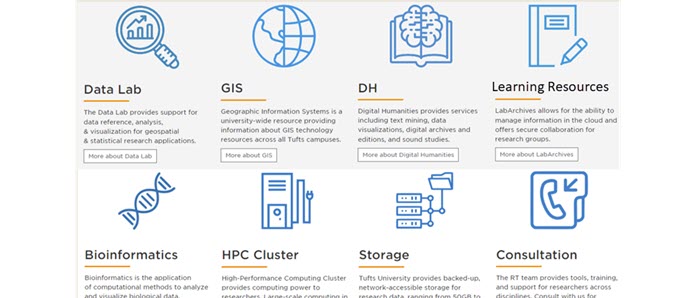
Learn about resources for data science, digital humanities, bioinformatics, research data management, and high performance computing (HPC)
TTS Research Technology Guides GitHub
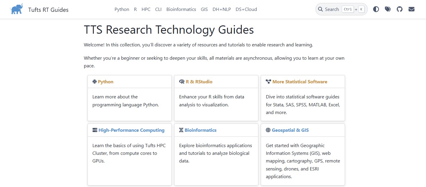
Explore TTS Research Technology’s many learning resources on our GitHub, including HPC resources, Bioinformatics, Data Science, and more
Tufts Data Lab
Learn about the Boston & Medford Data Labs, Data Lab Assistants, and access to software, data, and equipment