
You may also like
Environmental archaeologist Brandon McDonald builds a better understanding of antiquity by looking at the interplay of climate, environment, and disease. Apit of […]
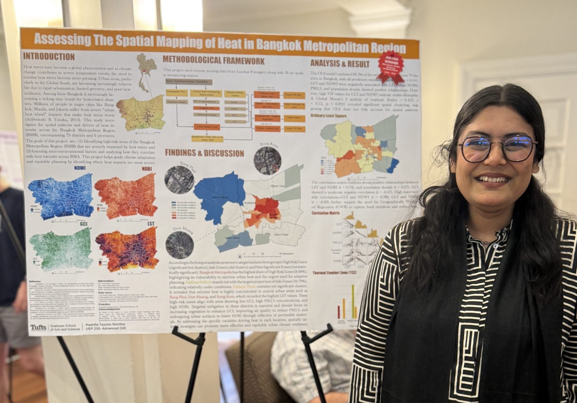
Honors include the Lily Glidden Award, Tufts Elephant Conservation Alliance (TECA) student grant, and three awards at the ESRI User Conference

Thank you for everyone that attending the 2025 GIS Expo. We had 221 posters and 60 StoryMaps displayed at the GIS Expo. […]