Tufts has done it once again! Congratulations to the winners of the ESRI Map Gallery at the 2024 ESRI User’s Conference out in San Diego, California!
This year Tufts University had 3 students and one faculty led project win awards at ESRI’s Map Gallery!

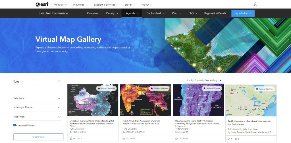
Check out the amazing projects and award winners submitted by Tufts University on ESRI’s virtual map gallery.
Congratulations to Tufts’ ESRI Map Gallery Award Winners
Award: 1st Place – Educator’s Map Category
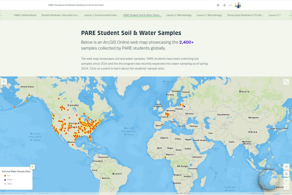
Title: PARE: Prevalence of Antibiotic Resistance in the Environment
Authors: Carol Bascom-Slack, Revati Masilamani, Carolyn Talmadge
Center for Science Education at Tufts University
Abstract: A resource for educators who want to bring research into the classroom by educating students about the pressing public health issue of antibiotic resistance and the power of spatial data to solve it.

Award: Cartography Excellence, from the Cartography Special Interest Group
Title: Ghosts of the Mountains: Understanding Risk Factors to Snow Leopards (Panthera uncia) in China
Authors: Rachel Giglio
Abstract: This analysis aims to assess risk factors that directly threaten snow leopards and increase the risk of disease emergence among the vulnerable species in China. It informs conservation strategies, policy decisions, and community engagement efforts.

Award: 2nd Place | Student Map – Post-Secondary
Title: How Many Are There Really? A Habitat Suitability Analysis of Jefferson Salamanders in Vermont
Authors: Jess Zulch
Abstract: This project aims to find new survey locations for Jefferson salamanders in Vermont by analyzing current sightings and habitat characteristics. Suitable locations without previous sightings are identified as new possible survey sites.

Award: 3rd Place | Student Map – Post-Secondary
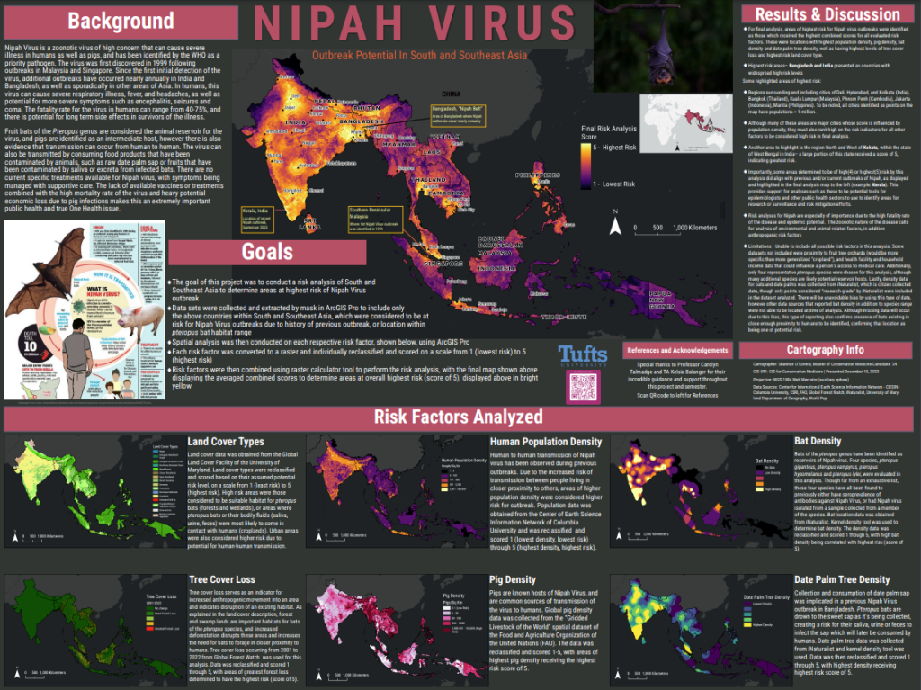
Title: Nipah Virus: Risk Analysis of Outbreak Potential in South and Southeast Asia
Authors: Shannon O’Connor
Abstract: Nipah Virus is a concerning zoonotic virus with a high fatality rate. A risk analysis of South and Southeast Asia determined areas at highest risk of virus outbreak considering factors like human population, bat and pig density, and land cover types.


