Geospatial software options include desktop software (either licensed or open source), or web-based platforms. Below are instructions for installing or accessing the most popular options
Desktop GIS Software for your Personal Computer
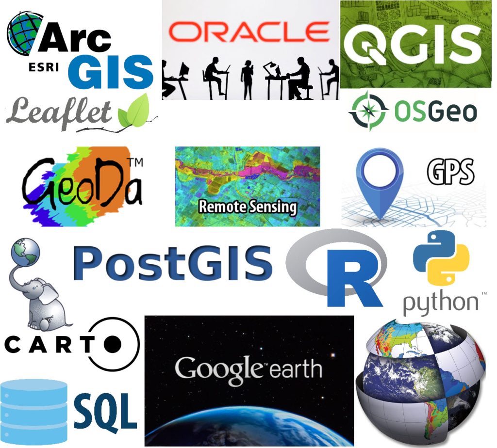
Learn about the most popular types of desktop geospatial software used in academia and industry, including licensed commercial software and open source software solutions to install on your personal computer. This link provides information on the different types of software and how to install it on your personal or Tufts owned computer
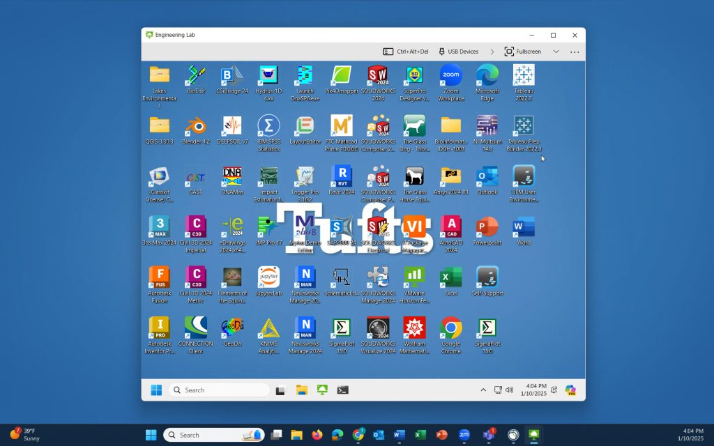
Access GIS Software Remotely with Tufts Engineering Lab VDI
Looking to access GIS Software on your personal computer, but don’t want to install it! TTS provides a ready to use online solution with our customized Engineering Lab VDI. The Engineering Lab VDI is the best solution for Tufts’ GIS and data intensive users due to its increased RAM and graphics capabilities
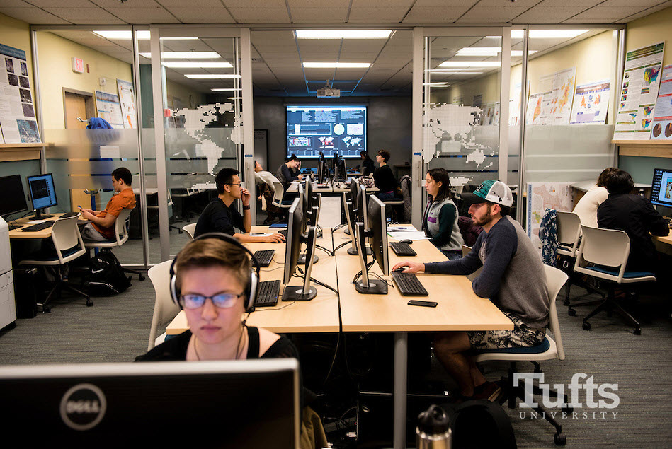
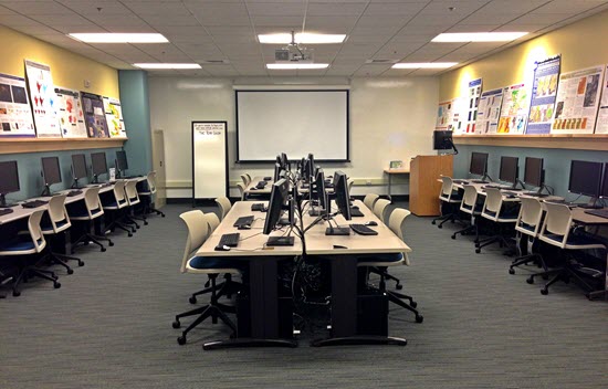
Computer Labs with Geospatial Software
There are several Windows computer labs on Tufts campuses with GIS and other data intensive software installed.
Medford/Somerville Campus
- Data Lab, Tisch Library
- JCC 225
- JCC 533 – Swipe Access
- Anderson 318, TTC (Formerly SEC) – Swipe Access
- EPDC, TTC (Formerly SEC)
- Mugar Computer Lab, Cabot
SMFA Boston Campus
- SMFA Loaner Laptops
Boston HHSL Campus
- Data Lab, 5th Floor HHSL, MedEd Building
- Room 514, MedEd Building
- Room 510, MedEd Building
- Nutrition Student Lounge, 105 Jaharis
Grafton Vet School Campus
- Webster Library Laptops
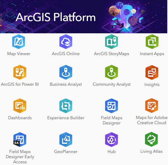
ESRI ArcGIS @ Tufts
The Esri ArcGIS Platform has many popular software packages and web-based applications available to the Tufts community for free through our Tufts Organizational Account. Click here to learn more about what is included in Tufts ESRI license along with our most common FAQs
Web-Based Geospatial Applications
Below are several web-based GIS applications and tools for building interactive web maps or solving spatial problems.
Subscription Services through Tufts
- ArcGIS Online is an online GIS platform hosted by ESRI, that allows users to create and share maps, applications, data and more. Tufts University holds an organization subscription. See above for access information.
- Social Explorer provides quick and easy access to current and historical census data and demographic information. It allows you to visualize, interact, explore, create, save and share maps and reports. Tufts University has a University Subscription. For more information on Social Explorer, see our page on Tufts Subscriptions/Holdings.
- Policy Map is a web-based GIS used to create maps of the United States down to the Census block groups. Available data includes demographics, home sale statistics, health data, mortgage trends, school performance scores and labor data like unemployment, crime statistics and city crime rates. Tufts University holds an organization subscription.
- Fulcrum is a web-based application that allows users to create their own field data collection forms and applications for use on their mobile devices. Tufts University has a subscription license. For an account, please email DataLab-support@elist.tufts.edu.
Additional Subscription Services
- Carto is a web based GIS and analysis tool which allows users to create dynamic maps that can be displayed and embedded in a web browser. Tufts does not currently have a subscription.
- Felt is a cloud-native GIS platform for collaborative and interactive mapping. Tufts does not currently have access, but users can create basic free accounts for personal use.
Free Web Mapping Applications
- OpenStreetMap (OSM) is a collaborative project to create a free and editable map of the world. Data can be downloaded to use in a GIS.
- Google Earth Engine combines a multi-petabyte catalog of satellite imagery and geospatial datasets with planetary-scale analysis capabilities. Scientists, researchers, and developers use Earth Engine to detect changes, map trends, and quantify differences on the Earth’s surface. Earth Engine is now available for commercial use, and remains free for academic and research use.
- Leaflet is a light weight, java script library for making tile based interactive maps for desktop and mobile browsers.
- MapBox is an opensource, developer platform for creating and using interactive maps for desktop and mobile browsers.
- Map Stack creates quick map snapshots of anywhere, with the ability to customize colors and which labels/lines to include.
- OpenSourceGIS is a cataloged list of many more open source tools for use with GIS.
Free Geocoders & Lat/Long Tools
- BatchGeo is a free tool which geocodes a list of address and finds distances.
- US Census Geocoder is an online geocoder which matches addresses to points for the USA.
- Degrees, Minutes, Seconds to Decimal Degrees Converter allows users to easily convert between the two latitude/longitude units quickly and easily.