Data Lab specialists and GIS instructors have created and curated a list of many helpful GIS tutorials, tip sheets, and videos. Please select the geospatial software you are interested in learning more about.

ESRI ArcGIS
Tutorials and Tip Sheets
Resources for learning how to use ArcGIS Desktop, including ArcGIS Pro and ArcMap applications.
QGIS
Tutorials and Tip Sheets
Resources for learning how to use QGIS and use various tools and create map layouts

Google Earth & Google Map Tutorials and Guides
Resources for using Google Earth or Google Map for presentations and mash-ups.

Geoda
Tutorials and Tip Sheets
GeoDa is a user-friendly GIS program to support the free and open-source spatial analysis research infrastructure.
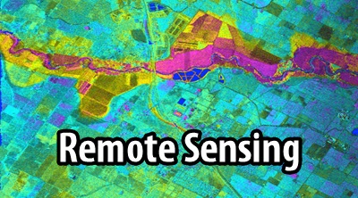
Remote Sensing
Tutorials and Tip Sheets
Resources for learning to work with satellite imagery and remote sensing technology, such as ENVI or Erdas.
GPS & GNSS
Tutorials and Guides
Resources for field data collection using global positioning system (GPS) receivers or Global navigation satellite system (GNSS)
GIS Poster Design
Guidance
Resources for understanding good poster design and a tutorial for using Microsoft Publisher for creating a poster.