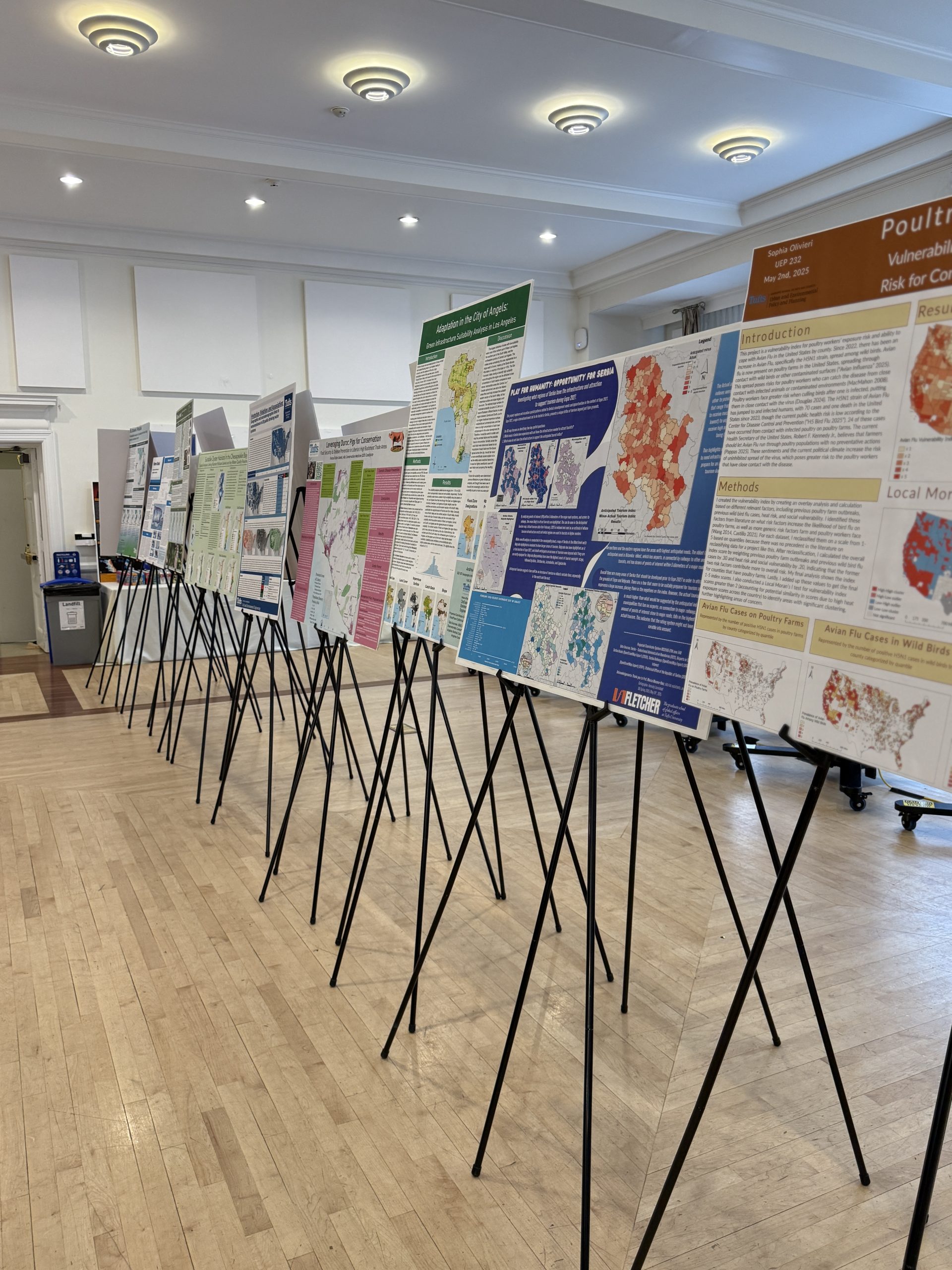
Before students at Tufts University finish the Master of Science in Conservation Medicine (MCM) program from the Cummings School of Veterinary Medicine, there’s one requirement they may not have anticipated being key to their future careers: a geographic information system (GIS) course.
The MCM program brings together veterinarians, physicians, ecologists, and conservation professionals committed to addressing urgent issues being faced by the planet. The program studies habitat use, conflicts, habitat conservation, emerging and resurging diseases, environmental contamination, ecosystem and climate change, wildlife management and biodiversity loss, and ecosystem function degradation.
“The problems our students aim to solve are inherently spatial by nature, requiring GIS and spatial analysis skills to fully understand and investigate the scope of the problem,” said Carolyn Talmadge, Data Lab Services manager and course director for the Cummings School of Veterinary Medicine. Initially, there was no dedicated GIS course, just workshops and guest lectures. “But as we all know, you can’t truly get a handle on GIS in one three-hour course,” she said.
