Danielle Angel
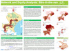
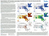
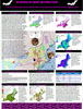
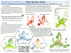
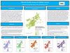
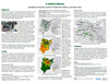
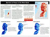
Barriers to Peace in the West Bank
Ashley Doliber
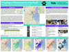
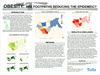
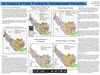
Coups + Quakes = Coverage? Comparing News Reportage to Vulnerability and Shocks in Africa
Mayuko Hirai
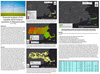
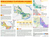
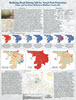
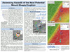
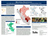
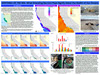
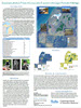
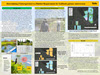
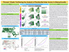
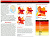
Rice Brings Lights Biomass Electrification Suitability in Cambodia
Drew Keneally
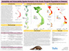
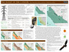
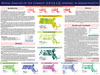
Tunisia: The Arab Spring Success Story?
Vika Planson
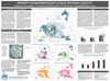
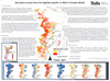
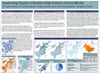
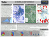
Radicalization Risk in Bosnia & Herzegovina

Julio Rivera Alejo
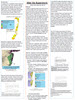
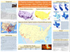
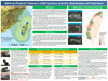
Sea Level Rise in Liberia: A Risk and Vulnerability Analysis

Jimena Solano
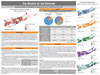
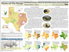
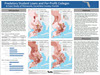
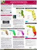
Powering Mexico: A Wind Farm Suitability Analysis

Alysha Tierney
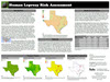
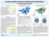
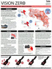
Far Right Extremist Violence in the United States: Risk Assessment of Far Right Extremist Violence by County
Alex Zadel
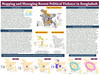
Revolution on the Surface: Spatial Patterns of Unrest and the Everyday State in Cairo
|
Samuel Bollier
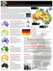
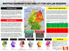
Mapping Germany’s Suitability for Asylum Seekers
Ayla Francis
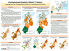
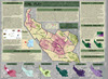
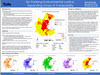
Provincial Socioeconomic Vulnerability in Angola
Po-Chang Huang(Paul)
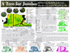
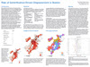
Who to Protect? Taiwan’s SAM Systems and the Distribution of Protection
Emily Morgenstern
Catastrophic Beach: Assessing the Ramifications of a Mosul Dam Collapse

Qi Qi
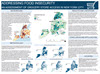
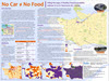
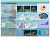
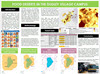
Somalia Acute Food Insecurity Overview

Bhavik Shah
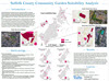
Identifying wholesale grocery store locations in Middlesex, MA

Hojun Song
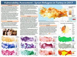
Vulnerability Assessment : Syrian Refugees in Turkey in 2017

Johan van de Ven
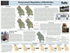
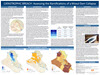
One Belt One Road In Xinjiang: A Transport Infrastructure Suitability Analysis, 2005-2015
|
Michael Cretz
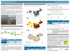
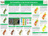
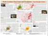
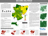
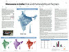
Monsoons in India: Risk and Vulnerability of Farmers
Cassie Henrriquez
Gang Violence in El Salvador: The Impact of the 2012-2014 Gang Truce on Homicide Rates

Paroma Husain
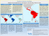
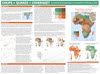
Linking Financialization and Economic Development in Africa
Cody Parker
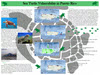
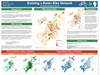
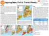
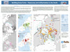
Mapping New York’s Transit Needs
Fatima Quraishi
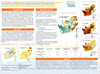
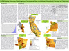
Potential of Green Jobs in South West USA 2012
Dristy Shrestha
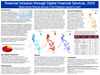
Financial Inclusion through Digital Financial Services, 2010
Emily Susman
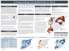
Compounding Vulnerabilities in Syria: Prioritizing Locations for Humanitarian Assistance
Daphne Walramis
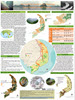
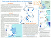
Building Snow Forts— Resources and militarization in the Arctic
|