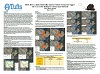
Best in Show:
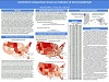
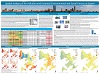
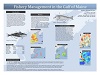
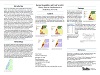
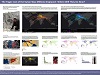
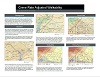
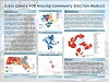
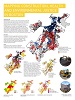
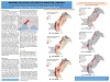
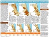
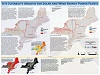
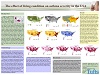
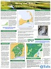
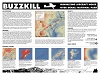
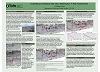
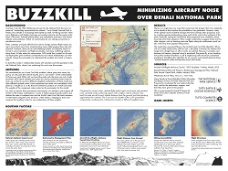 Gabe Joseph Buzzkill: Minimizing Aircraft Noise over Denali National Park |
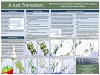
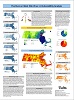
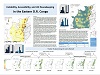
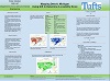
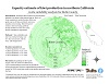
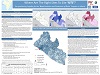
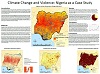
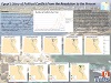
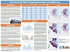
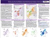
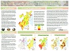
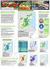
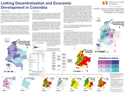 Juan Taborda Linking Decentralization and Economic Development in Colombia |
Runners Up:
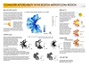
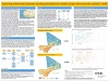
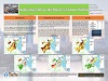
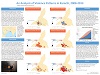
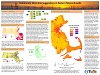
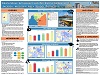
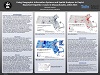
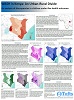
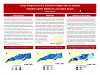
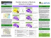
 Danielle Ngo, Sol Ucciani and Alister Wood Site Suitability Analysis for Solar and Wind Energy Power Plants
|
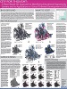
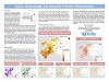
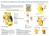
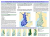
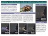
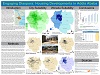
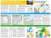
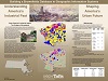
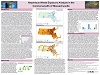
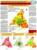
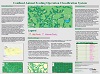
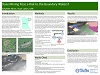
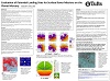
 Joyce Harduvel Public Housing under HOPE VI: A Spatial Analysis of Chicago
|


Participants:
Fall 2014 – UEP 0232 Intro to GIS: GIS for Urban Analysis


Fall 2014 – GIS 101 Undergraduate Introduction to GIS


Fall 2014 – CEE 187: Engineering Geographic Information Systems


Fall 2014 – Nutr 231: Fundamentals of GIS for Food, Agriculture, and Environmental Applications
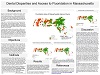
 Brittany Peats Composting Capacity in Massachusetts
|
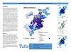
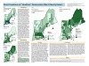
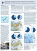
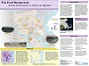
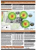
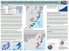
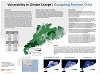
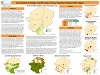
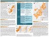
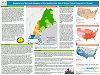
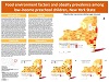
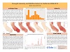
 Rose Gould The Tragic Cost of the Syrian War, Millions Displaced: Where Will They Go Now?
|
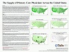
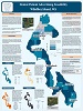
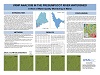
 Devin Groman Availability of SNAP Retail Stores in King County, WA
|


Fall 2014 – Advanced Geographical Information Systems
 Maddy Ball Sao Paulo Brazil: An Emerging Megacity
|
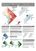
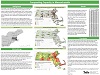
 Caitlin Bettisworth Site Suitability Analysis for an AERIS TestBed
|


Spring 2015 – Fletcher DHP P207: GIS for International Applications


Spring 2015 – UEP 0232 – Intro to GIS: GIS for Urban Analysis
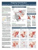
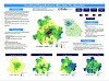
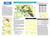
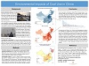
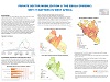
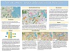
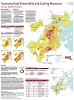 Erin Coutts Assessing Heat Vulnerability and Cooling Resources: A Case study of Boston
|
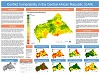
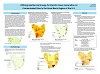
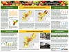
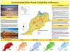 Cory Felder Concentrated Solar Power Suitability in Morocco
|
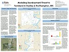
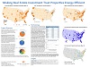
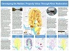 Timothy Gramt Developing the Malden: Property Value Through River Restoration
|


Spring 2015 – GIS 101 Undergraduate Introduction to Geographic Information Systems


Spring 2015 – CEE 194A: Introduction to Remote Sensing


Spring 2015 – PH 0262: GIS for Public Health


Spring 2015 – Nutr 231: Fundamentals of GIS for Food, Agriculture, and Environmental Applications


Spring 2015 – EOS 104: Geological Applications of GIS


Spring 2015 – Advanced Geographic Information Systems
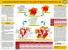
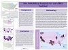
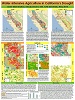
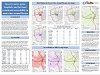
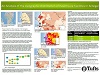
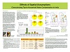 Tania Alarcon Effects of Spatial Assumptions: Characterizing Tap to Household Water Contamination in India
|
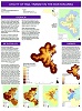
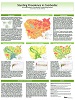
 Livia Baer-Bositis how does a lady butterfly choose where to lay her eggs?
|
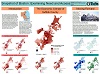
 Stephanie Clarke Possible Indicators of Bacteria Hotspots in Arlington
|