Pulkit Aggrwal
Infectious Diseases Vulnerability Assessment in Turkey, 2018
Andrea Becerra
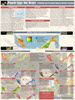
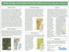
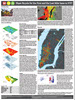
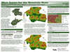
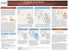
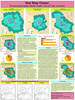
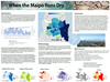
When the Maipo Runs Dry
Swathi Cholapurath
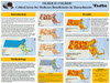
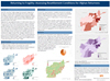
Returning to Fragility: Assessing Resettlement Conditions for Afghan Returnees
Steven Goldbaum
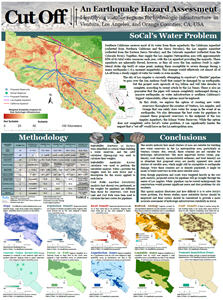
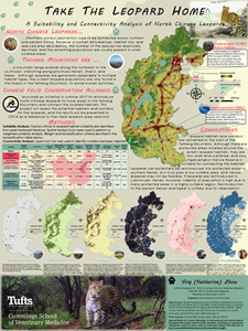
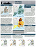
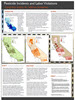
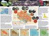
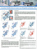
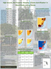
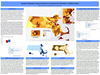
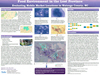
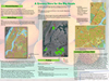
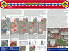
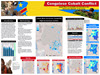
Congolese Cobalt Conflict: Cobalt Mine Accessibility and Security in the Democratic Republic of the Congo

Andreas Hofleitner
Insider Threat Risk in Afghanistan: Spatial Analysis of Counterintelligence Force Distribution for an Enduring Troop Presence: 2013 – 2017

Katherine Quintero
Interrupting Modern Slavery: Identifying women’s vulnerability to human trafficking in Myanmar
Jessica Sashihara
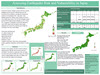
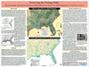
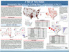
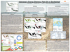
Dispersion of the Japanese Population in the United States after Internment
Laura Smith
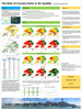
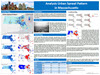
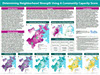
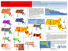
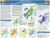
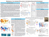
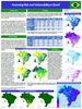
Assessing Risk and Vulnerability in Brazil

Roisin Maire Taylor
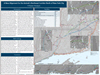
Attacks on Aid: Mapping Attacks, Blockades and Delays on Aid Convots and Facilities in Syria
|
Matthew Arnold
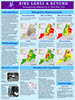
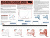
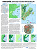
Plugging in Beyond the Grid in Tanzania: Gauging suitability for off-grid electrification
Callie Burke
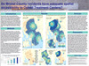
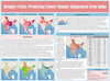
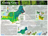
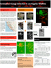
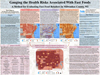
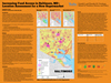
Identifying Areas at Risk for Gang-Related Violence in Los Angeles County
Jacob Cohn
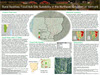
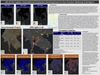
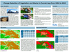
A Bitter Legacy: Agent Orange in 21st-Century Vietnam
Archibald Henry
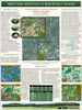
Roadblocks: Markers of Control and Contestation in the Central African Republic
Elizabeth Minchew
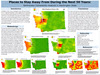
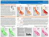
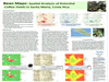
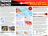
Tremor Tactics: Earthquake Vulnerability in Papua New Guinea
Rashi Rathi
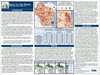
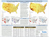
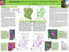
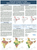
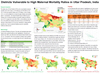
Districts Vulnerable to High Maternal Mortality Ratios in Uttar Pradesh, India
Anthony Schultz
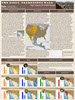
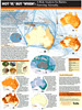
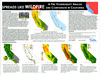
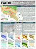
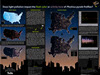
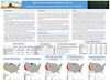
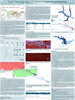
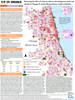
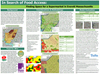
Where on the U.S. Southern Border could Migrants More Easily Cross? The Path of Least Resistance Across the US – Mexico Border

Miran Song
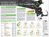
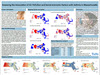
HIV and Socioeconomic Vulnerability in Zimbabwe
Elizabeth Wojnar
Assessing the Risk of the Global Gag Rule for Women’s Health in Africa
|
Lucia Avila Bedregal
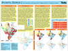
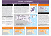
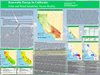
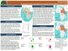
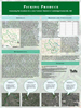
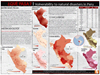
¿QUÉ PASA? | Vulnerability to natural disasters in Peru
Mariela Medina Castellanos
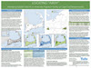
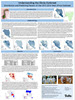
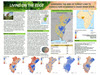
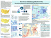
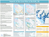
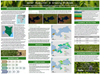
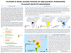
The Power of Water: Locating Potential Off-Grid Electricity Interventions to Alleviate Water Fetching Burdens
Claudia Cruz Leo
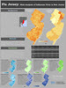
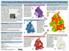
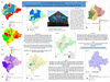
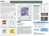
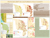
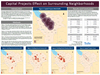
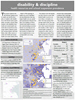
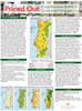
Priced Out: A Gentrification Index of Continental Portugal
Alicia Hernandez
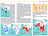
Violence against Women: An Analysis of Femicides in Mexico

Matthew Palumbo
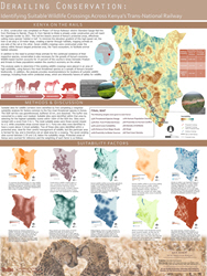
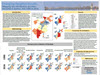
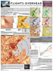
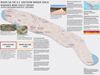
Cleared For Takeoff: Determining The Next Major Airport Hubs in Africa
Novie Sandhu
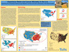
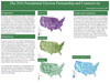
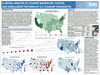
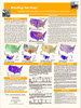
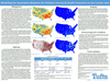
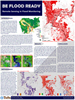
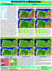
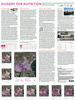
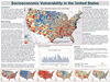
Socioeconomic Vulnerability in the United States
Marina Shalabi
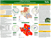
Ethnic Cleansing? Assad’s Strategic Targets in Syria
Nelson Tamayo
Safeguarding Heritage: A Vulnerability Assessment of Continental Portugal’s UNESCO World Heritage Sites
Bin Feng Zheng
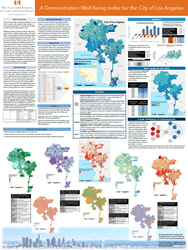
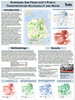
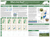
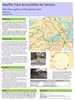
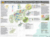
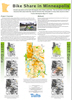
A Demonstration Well-being Index for the City of Los Angeles
Floor de Ruijter van Steveninck
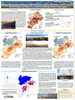
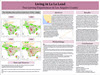
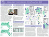
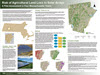
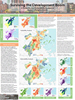
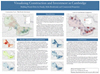
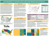
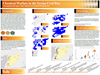
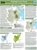
Analyzing Risk Factors for Out-Migration in Venezuela
|