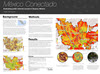
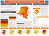
Mike Airosus
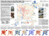
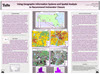
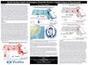
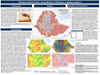
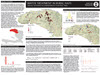
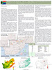
Radicalization in the Rif: Identifying High-Risk Areas for Extremism in Northern Morocco
Mauricio Cardenas-Gonzalez
Has Plan Colombia been effective in the war on drugs?

Hannah Fitter
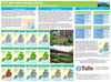
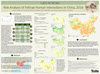
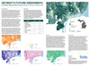
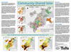
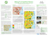
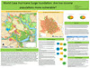
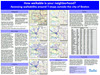
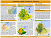
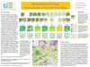
Agribusiness along the Mtwara Development Corridor
Ryan Gardiner
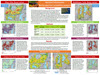
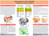
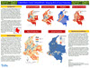
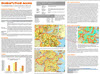
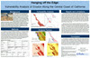
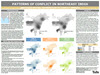
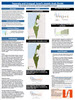
Separate and Unequal: Israel’s Jewish and Arab Divide

Elyse Gatt
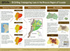
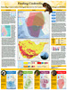
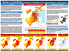
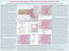
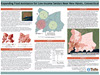
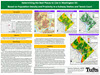
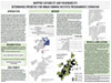
Cholera Outbreak in Iraq: A GIS Analysis of environmental risk, security risk, and vulnerability that shaped the 2015 outbreak
Ari Jacobovits
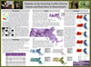
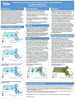
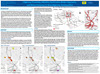
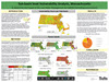
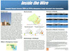
Inside the Wire: Economic Changes Between 2009 and 2014 in Montgomery County, Maryland’s Eruv Communties
Taeeon Kim
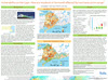
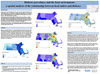
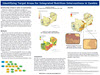
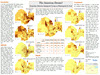
Protecting Women and Girls in Za’atari Refugee Camp: Vulnerability to Gender Based Violence (GBV) by Sex, Age and Distance to Nearest Toilet
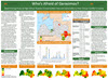
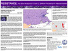
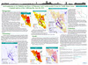
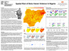
Who’s Afraid of Gerasimov? Determining Areas of High Ethnic Russian Concentration that are Vulnerable to Inter Group Conflict in Latvia
|
Spandana Battula
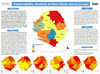
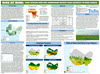
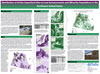
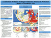
Impact of Coal Mining on Tiger Habitats in India
Michelle Kirkman
Civilian Vulnerability in the Democratic Republic of Congo
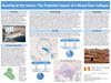
Cate Klepacki
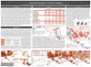
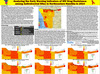
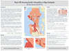
Bursting at the Seams: The Potential Impact of a Mosul Dam Collapse
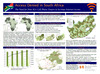
Abhishek Maity
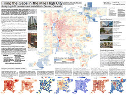
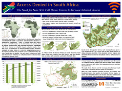
Access Denied in South Africa: The Need for New 3G+ Cell Phone Towers to Increase Internet Access
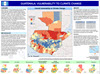
Alejandra Mazariegos
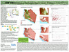
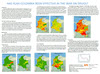
Guatemala: Vulnerability to Climate Change
Mike Meldonian
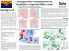
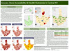
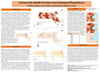
Finding Shared Value: Identifying Public-Private Partnerships for the Health and Mining Sectors in South Africa

France at Risk? The Potential Impact of Nuclear Terrorism in France
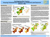
Hector Portillo
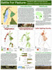
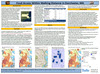
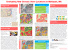
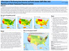
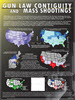
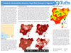
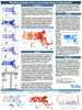
Getting Better? Mapping changes in homicide, rape, extortion, and kidnapping in Mexico 2012-2015
|
Aneliese Bernard
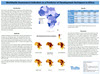
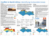
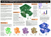
The Intersection of Irregular Migration and Violence in the Sahel
Danielle Robinson
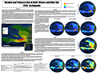
#Haiyan #Assistance: ICT Access and Humanitarian Response Following Typhoon Haiyan in the Philippines, 2013
Aditya Sarkar
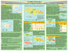
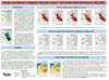
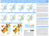
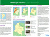
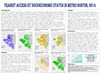
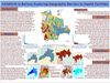
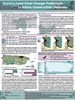
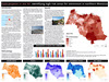
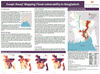
Swept Away? Mapping flood vulnerability in Bangladesh
Maggie Snyder
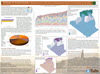
On the Run: Tracking Fugitive Emissions from a Proposed Natural Gas Compressor
Liena Strikis
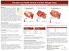
Education and Health Services in Zaatari Refugee Camp: Where Are Children Most in Need of Access?
Andrea Tran
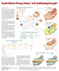
South Africa’s Primary Sector: Is It Contributing Enough?
Mohammad Usman
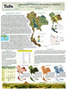
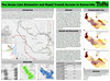
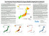
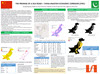
The Promise of a New Silk Road – China Pakistan Economic Corridor
Kristin Wagner
Power in Innovation: Opportunities for Social Entrepreneurship Cultivation in Algeria
Kaitlyn Neuberger
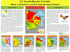
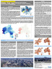
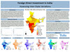
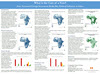
What is the Cost of a Vote? Does Increased Foreign Investment Really Buy Political Influence in Africa
|