Skip to content
Best in Show:
Runner Ups
- Ally Wright, GIS for Conservation Medicine
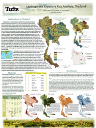
Leptospirosis Exposure Risk Analysis, Thailand
- Katie Grassle, GIS for Conservation Medicine
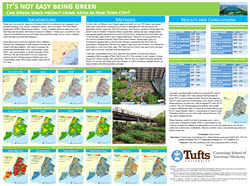
It’s Not Easy Being Green: Can Green Space Predict Crime Rates in New York City?
- Kat Rasp, GIS for Conservation Medicine
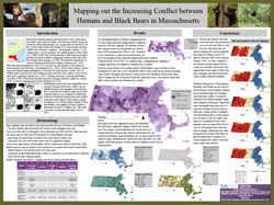
Mapping out the Increasing Conflict between humans and Black Bears in Massachusetts
- Slide Kelly, Intro to GIS for Urban Analysis
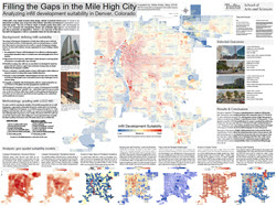
Filling the Gaps in the Mile High City: Analyzing Infill Development Suitability in Denver, Colorado
- Robel Alemu, Fundamentals of GIS for Food, Agriculture, and Environmental Applications
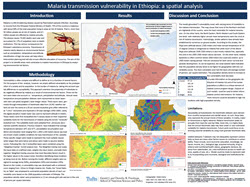
Malaria Transmission Vulnerability in Ethiopia: A Spatial Analysis
- Ethan Freedman, Advanced GIS
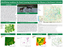
Identifying Locations for Road Crossing Structures for Moose in Northwest Colorado
- Julia Appel, Fundamentals of GIS for Food, Agriculture, and Environmental Applications
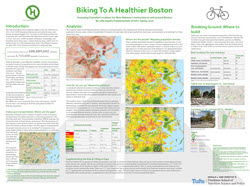
Biking to a Healthier Boston: Assessing Potential Locations for New Hubway Construction in and around Boston
- Abhishek Maity, GIS for International Applications
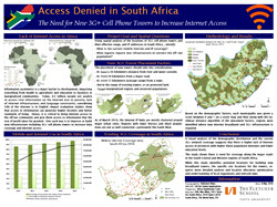
Access Denied in South Africa: The Need for New 3G+ Cell Phone Towers to Increase Internet Access
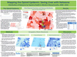
- Anna Kaplan, GIS for Public Health:
Mapping the Opioid Epidemic: Saving Lives with Nalozone – Distribution of Nalozone by Tapestry Health in Western Massachusetts, 2008 – 2016