The Data Lab maintains a wide array of equipment for field data collection including Global Navigation Satellite System (GNSS)/Global Positioning Systems (GPS), and unmanned aerial vehicles (commonly known as drones) for student, staff, and faculty research and courses.
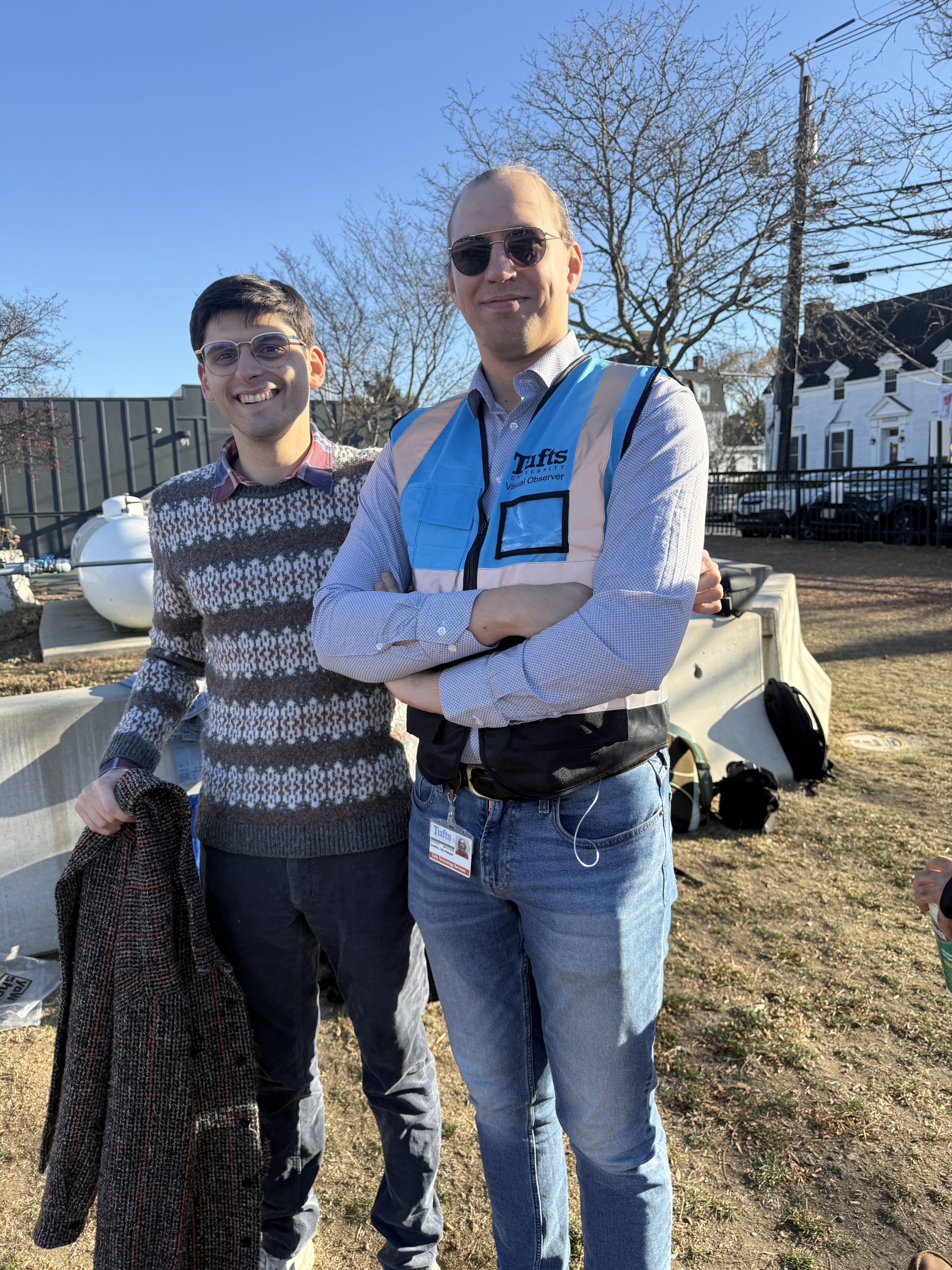
Various GPS/GNSS equipment is available to Tufts community members to borrow for free. If you are interested in learning about our fleet of Drones for your course or research, please reach out to DataLab-Support@elist.tufts.edu to schedule an appointment with our Senior Drone Data Scientist, Jon Caris.
Borrow GPS/GNSS Units
If you are interested in borrowing a GPS/GNSS unit or accessory, please fill out the request form below and a Data Lab staff member will schedule an appointment with you to identify the best equipment for your needs and arrange a time for you to pick them up.
Please request your units at least 1 week before you need them to give our team time to prepare the unit for your research. Scroll down to see the list of available GNSS/GPS equipment.
GPS/GNSS Equipment Inventory
Handheld GPS/GNSS Units
These units are available for student, staff, and faculty to borrow for free with little to no experience.
- 14 Bad Elf GNSS Surveyors with one-meter range poles
- 6 Garmin 62s Handheld GPS Units
- 6 Garmin 60CSx Handheld GPS Units
- 6 Garmin 76Map Handheld GPS Units
Additional GNSS Accessories
- 1 X TruPulse Laser Rangefinder 200x by Laser Technology Inc
- 1 x TruPulse Laser Rangefinder
- 1 x LG GPad X 8.0
Mapping Grade GNSS Units
These mapping grade units are available for specialist and authorized use only.
- 6 x Emlid Reach Rs2 & Base/Rover Essentials by E38 Survey Solutions
- Reach RS2+ Survey Kit
- Carbon Fiber Rover Rod and Bipod
- Carbon Fiber Tripod and Removable Rod
- Pole Mount Tablet & Phone Holders
- 1 x DJI D-RTK 2 High Precision GNSS Mobile Station
- DJI D-RTK 2 Base Station Tripod
- 2 x EOS Arrow 100 Surveyors with two-meter range poles
GPS/GNSS Applications & Learning Resources
- ESRI Applications using Tufts Organizational Account
- DNR Garmin 6.1.0.6 (free for download)
- Fulcrum Mobile Location Leverage (email DataLab-support@elist.tufts.edu for account access)
We regularly provide GPS instruction and workshops. Please see the Tips & Tutorials for GPS page for more learning resources.
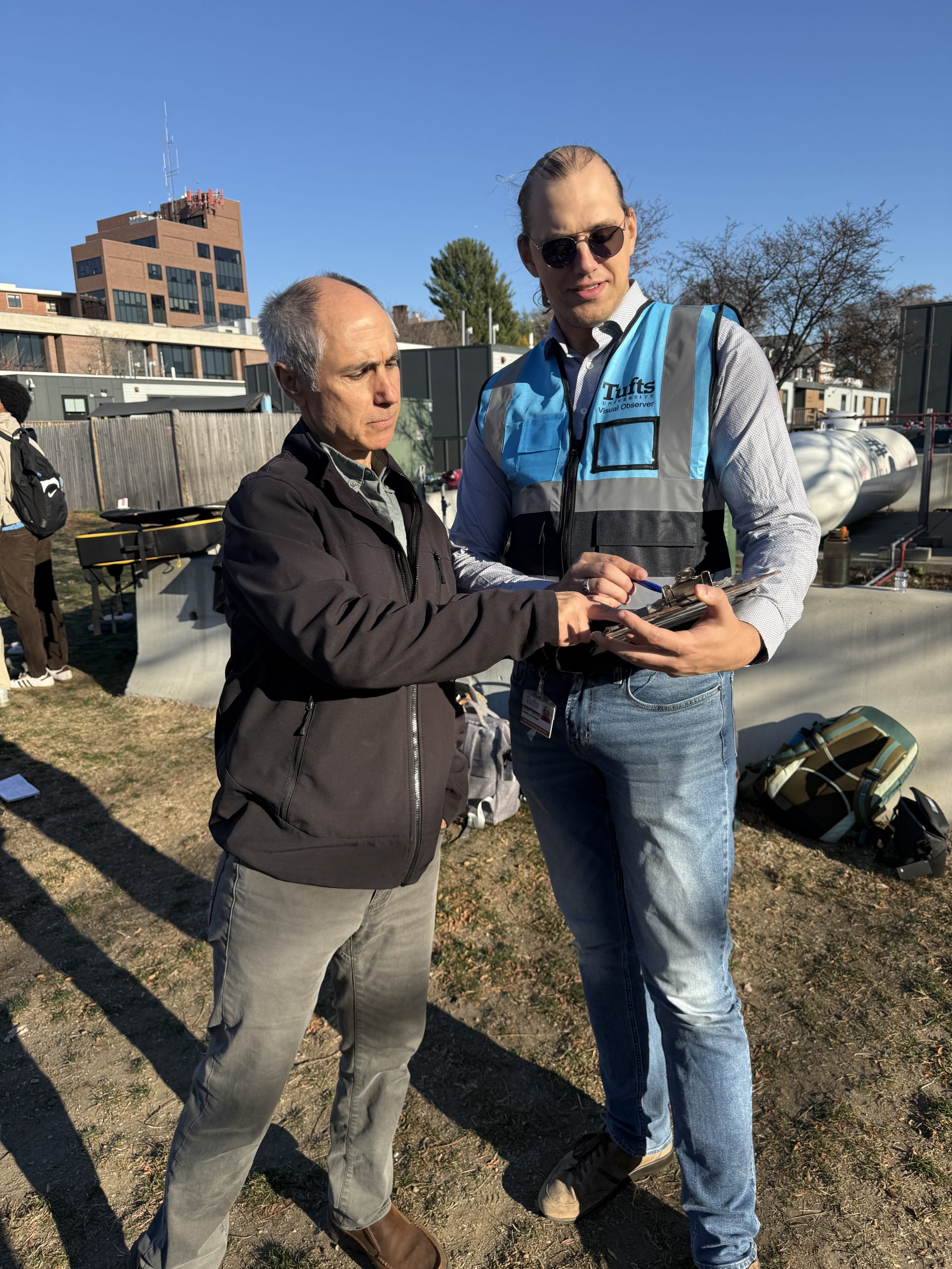
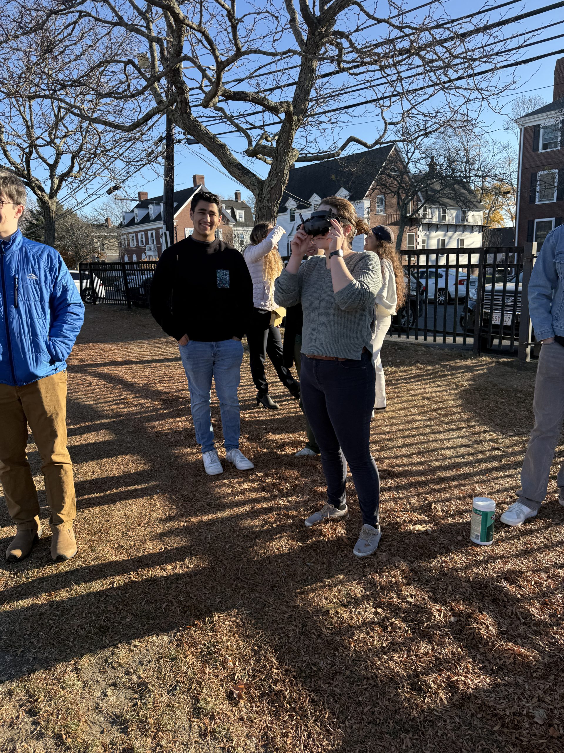
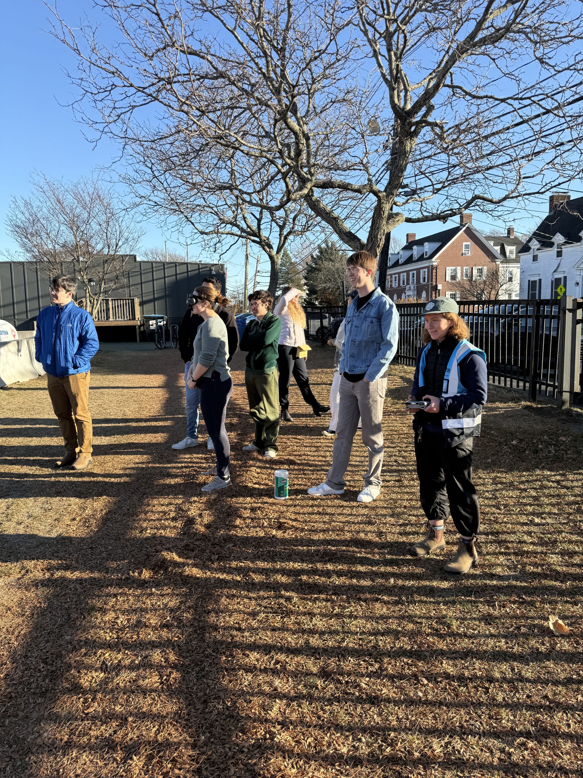
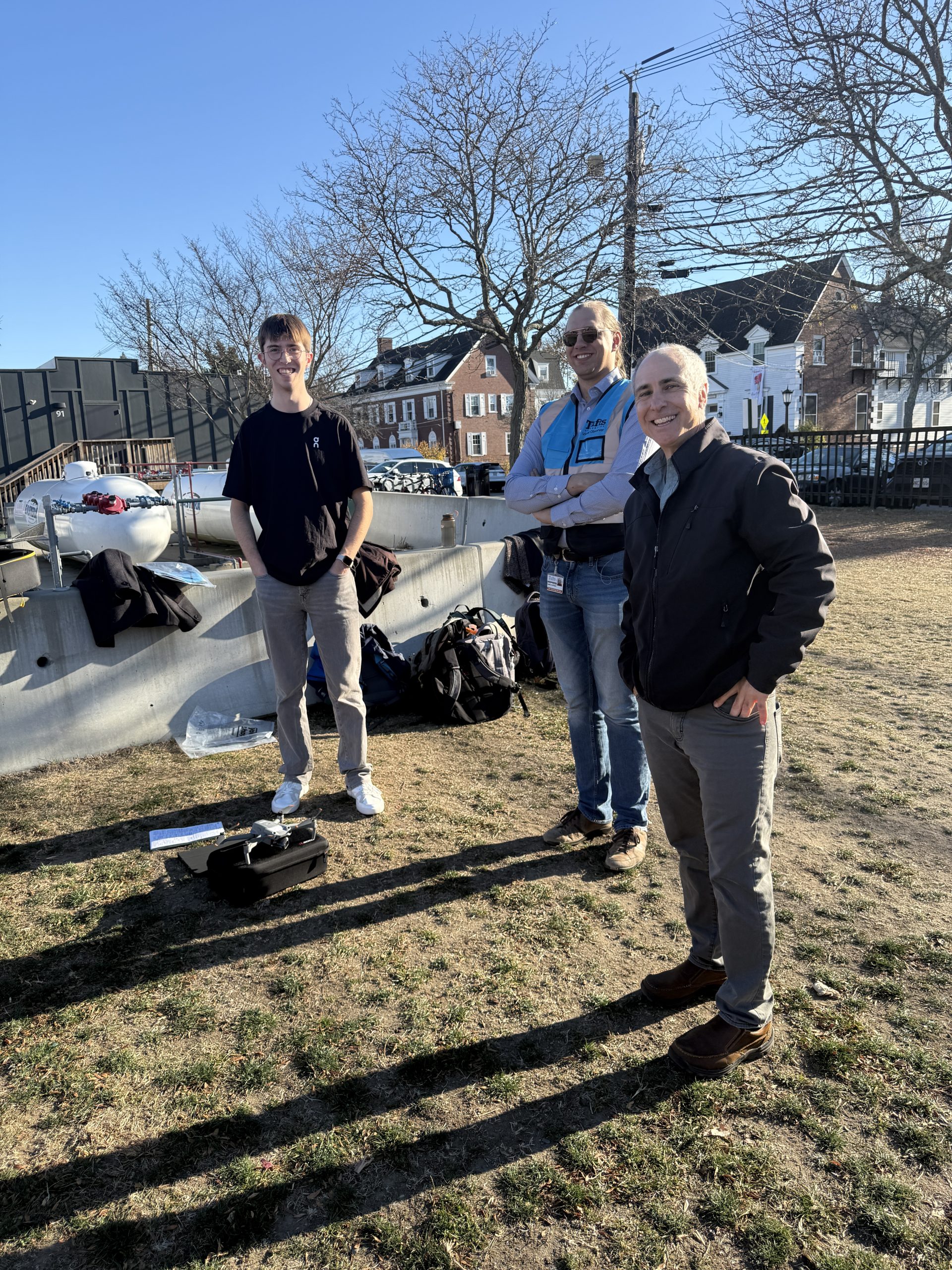
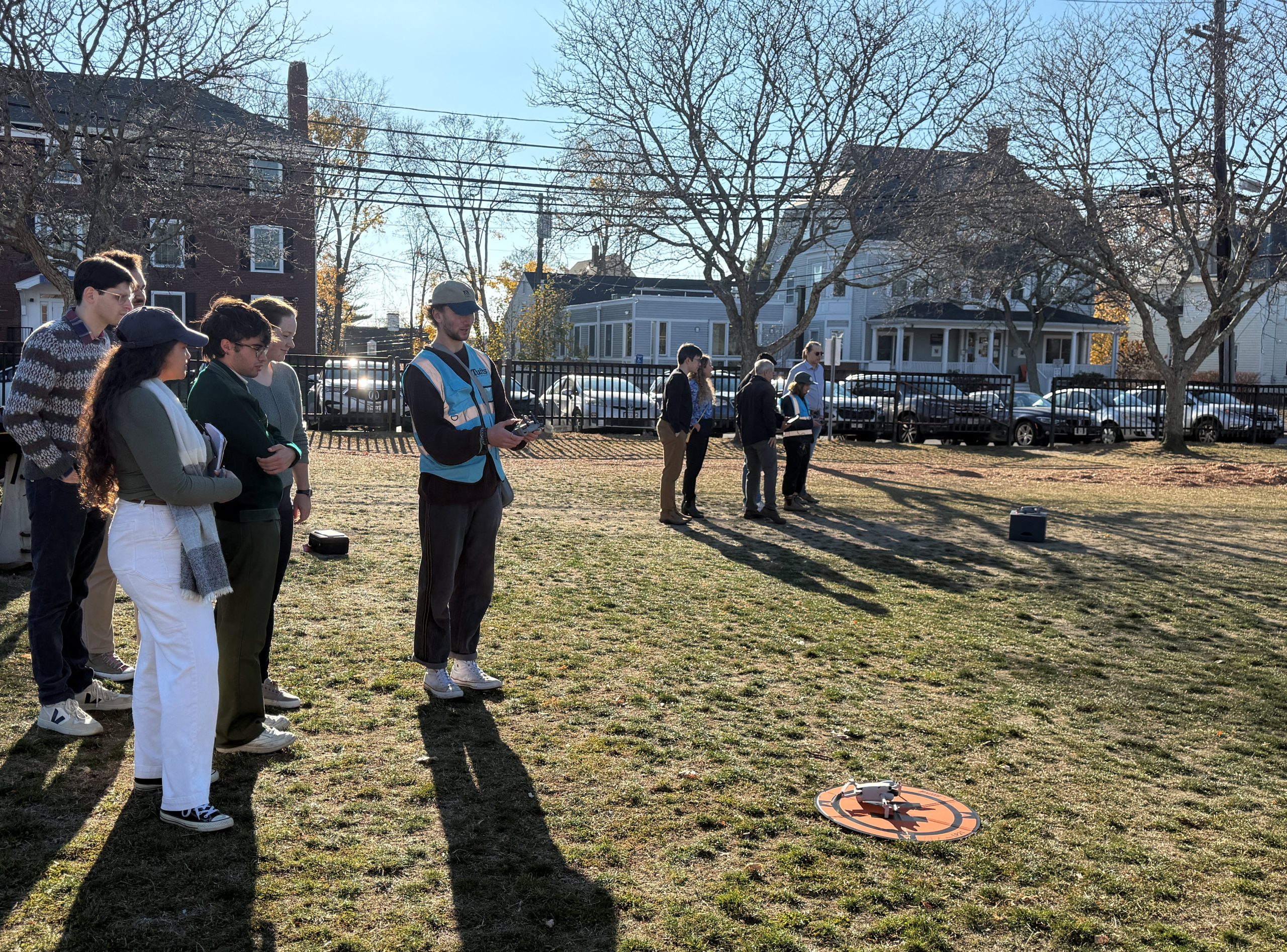
Unoccupied Aerial Vehicles (UAV) – Drones
Tufts maintains several UAVs, commonly known as drones, for specialized and approved use. Please contact DataLab-Support@elist.tufts.edu if you would like to learn more and schedule an appointment with our Senior Drone Data Scientist.
UAV/Drone Inventory
- 4 DJI Phantom 4 Pro v 2.0
- 1 DJI Phantom 4 Pro with NDVI Sensor
- 1 SenseFly eBee
- SenseFly Aeria X with eBee X series Integration Kit
- SenseFly Duet M with eBee X series Integration Kit
- SenseFly Duet T with eBee X Integration Kit
- SenseFly S.O.D.A. 3D
- SenseFly eBee X series Battery Endurance
- 1 DJI Mavic 3 Enterprise Multispectral
- 1 DJI Matrice 30T (with Thermal sensor)
- TB30 Intelligent Flight Battery
- DJI 1671 Propellor for Matrice 30
- DJI Enterprise BS30 Battery Station for Matrice 30
- 4 DJI Mini 4 Pro
- Smart controllers
- 8 DJI Air 2S
- 3 DJI Air 2S Fly More Combo
- 5 DJI Air 2S Drone Only
- 2 Tello
UAV/Drone Software & Accessories
- 6 iPad 10.5 with USB cable and charger
- 3 iPad 7th Generation with Charger and Lightning Cable
- 1 iPad 9th Generation Wi-Fi plus cellular 64GB with Charger and Lightning Cable
- 2 iPad 9th Generation Wi-Fi 256GB with Charger and Lightning Cable
- Pix4D Software
- Drone2Map Standard & Drone2Map Advanced (ESRI Organizational License)