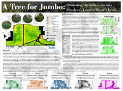
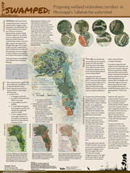
Winners of the Tufts GIS Poster Expo Announced
Runners Up:
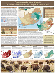
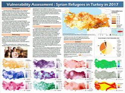
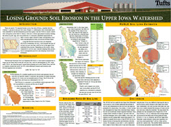
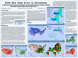
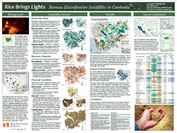
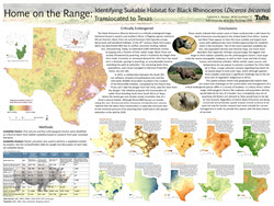

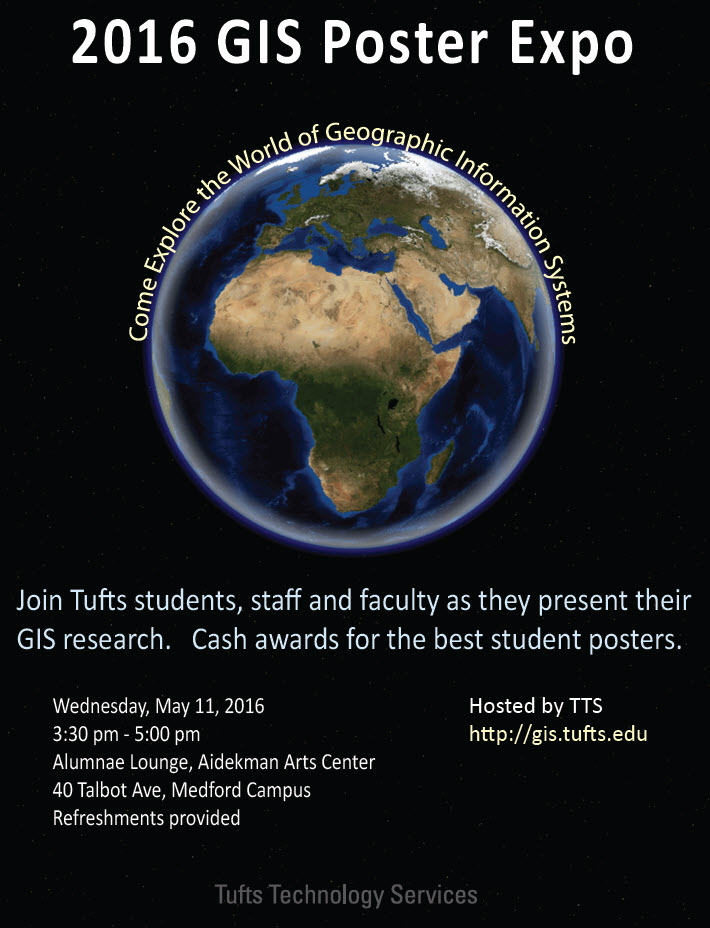
2016 GIS Poster Expo
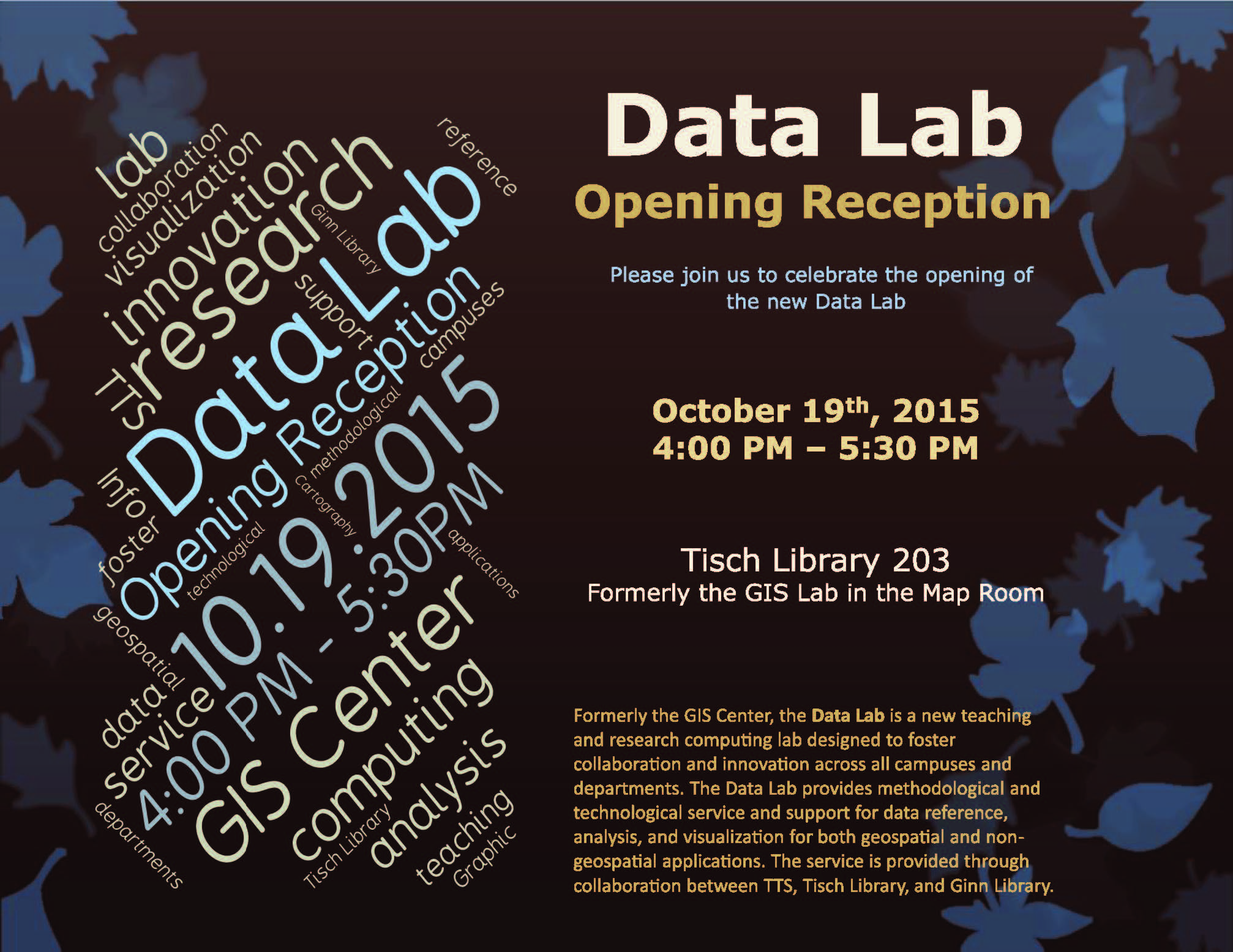
Data Lab Opening Reception – October 19, 2015
Boston Climathon – June 18, 2015
Boston was chosen as one of ten cities worldwide to participate in the Global Climathon 2015, an intercontinental hackathon event to find innovative, city-level solutions to climate change problems.
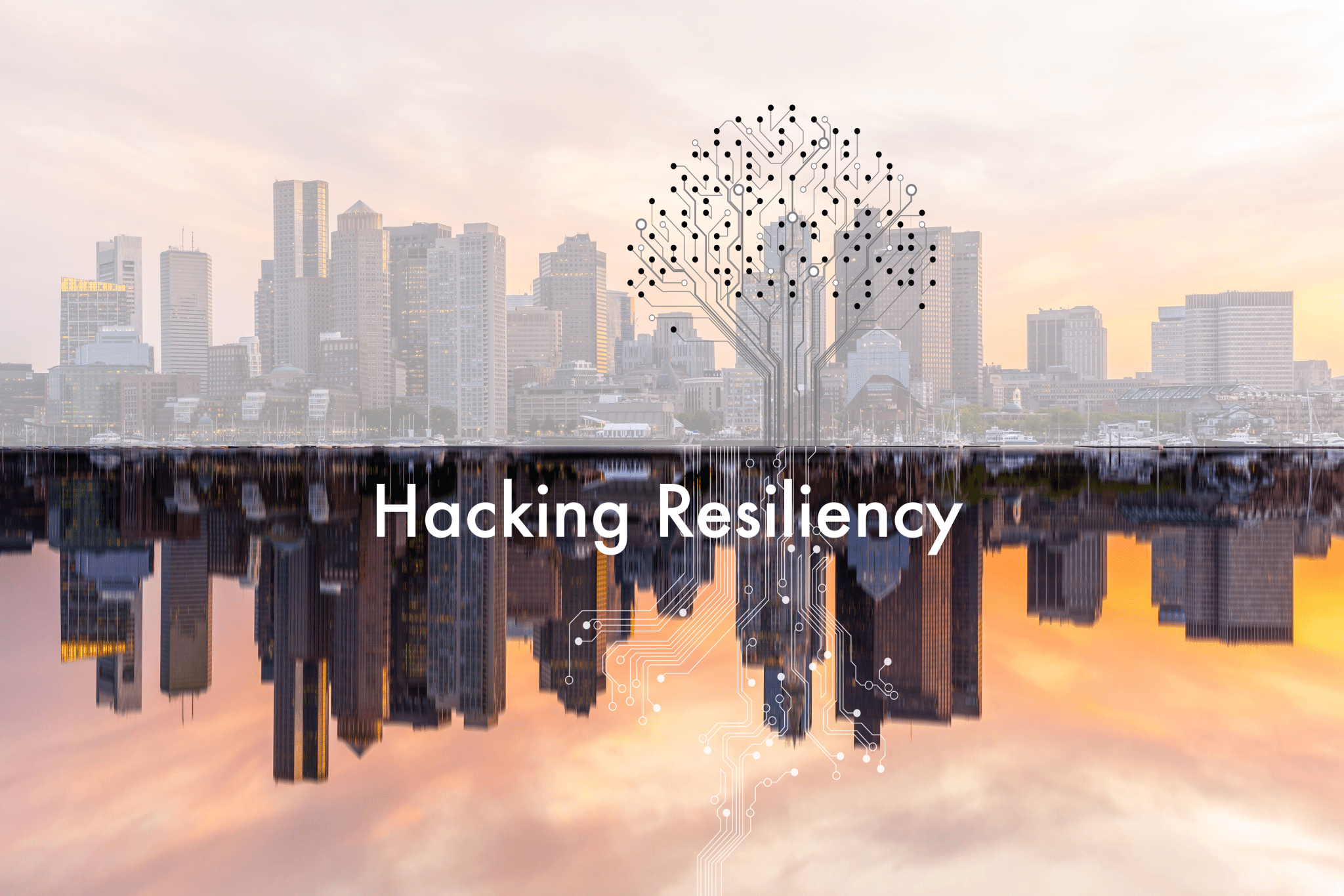
Set to take place simultaneously in major cities across the world, the Global Climathon challenged students and citizens from diverse locations to take direct climate action within their own municipalities. As one of two cities (along with Washington, D.C.) chosen to represent North America in this global initiative, the Boston Climathon — Hacking Resiliency leveraged the wealth of creativity and innovation that greater Boston has to offer, while enhancing climate literacy, skills, and urgency within our own communities.
On June 18th, 2015, Tufts Institute of the Environment lead the New England regional marathon to develop solutions for climate change resiliency related to sea level rise in the greater Boston area. Local water, climate, and sustainability officials, experts, and developers helped frame the challenges we face, and inspire potential solutions for participants to explore. This was an excellent opportunity for students and citizens of all skill levels to develop or add to their knowledge in the areas of climate change resiliency and adaptation, environmental justice, app development, mapping, GIS, and data management tools.
Check out the presentation created by Tufts University to understand how Geospatial Technologies can help answer these questions!